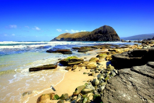
Approximate Walking Time: 5-7.5 hours
Whilst most people head from Granite Beach to South Cape Rivulet, we decided to go an extra 4 kms to Lion Rock.
This was to make the last day nice and easy.
The 13 kms to cover started with a forested climb of some 400 metres elevation.
It was quite a rough track with plenty of mud leading up to our first rest spot on Flat Rock Plain.
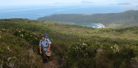
Heading to Flat Rock Plain
This gave us a lovely view back over the beaches and water.
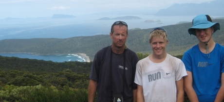
Flat Rock Plains view
More scrubby up and down, with plenty of mud, eventually gets you to Trackcutters Camp – a small campsite at the start of a nice, long descent.
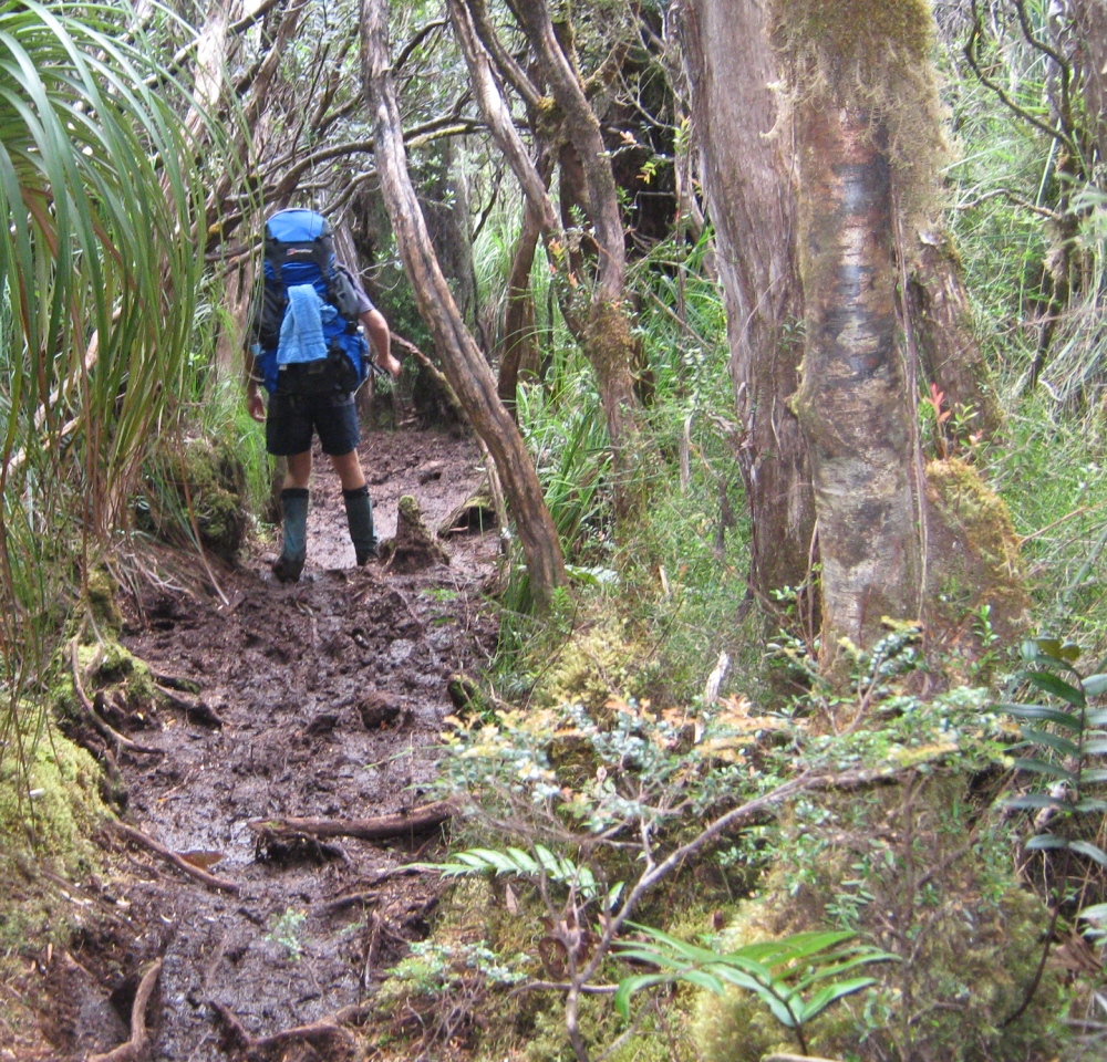
Muddy Flat Rock Plain
The descent track is rough much of the way, with a boardwalk in some sections.
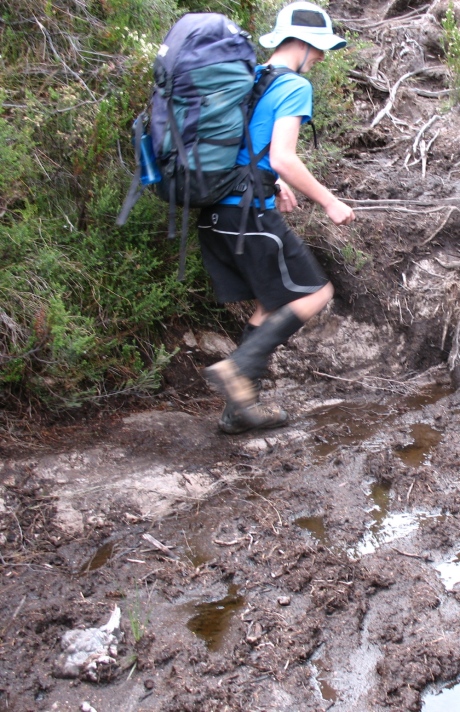
Flat Rock Plain track
There’s another small climb before the track once again descends through forest to come out at the South Cape Rivulet.
A wade across this and you’ll see the campsites about 100 metres up the side of the bank of the rivulet.
Then you have a nice flat walk along the beach (gotta love those beach walks) before you climb up a headland and go down to the next beach in South Cape Bay.

South Cape beach
Along that you’ll see markers for the track heading inland a few hundred metres before the end of the beach.
It’s a nice sharp climb up over Coal Bluff that affords a great view.
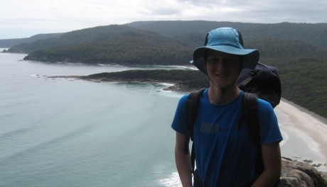
View from Coal Bluff
You start your descent and you’ll see Lion Rock on your right.
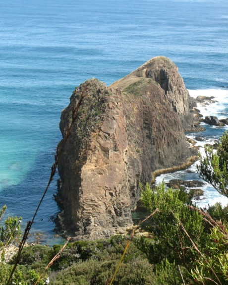
Lion Rock South Coast Track
Here’s a magical shot of Lion Rock by Mark Ashton.
Down onto the sandy/rocky beach and you’ll spot the creek a few hundred metres along where the campsites are (fill up your water bottles here).
2 Main Campsites
There are 2 main campsites here – beside the creek on the right (a bit of a way in) and at the top of the steep wooden steps on the right.
We camped up the top in a well protected spot.
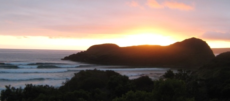
View of Lion Rock from top of steps to campsite
Difficulty Rating – Moderate
A nice day with some short sharp climbs.
You’ll be well and truly walk fit by now if you weren’t already, so it will be a fairly comfortable day if the weather is half decent.
