


-
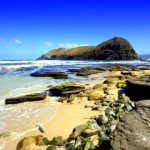
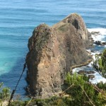
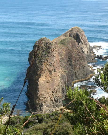
- Lion Rock – Click for larger image
-
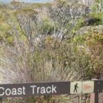
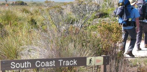
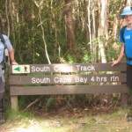
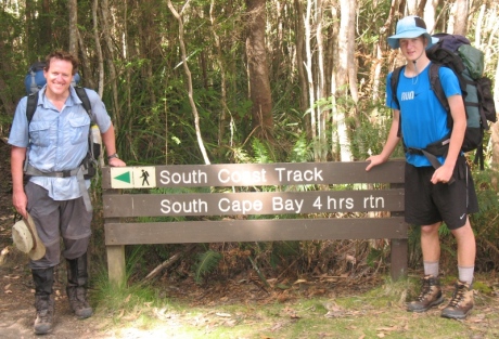
- South Coast Track information
-
- Click for larger image

-
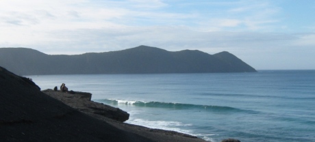
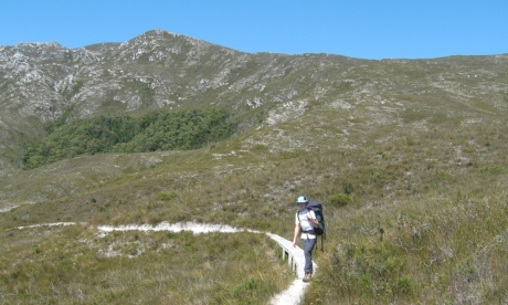
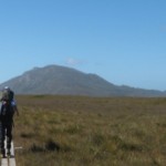
- Part of the South Coast Track
-
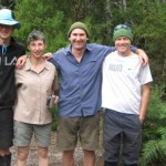
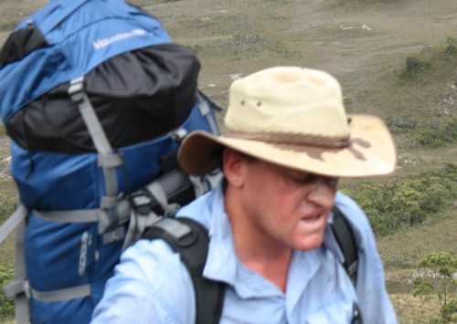
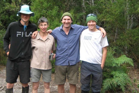
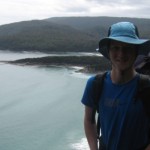
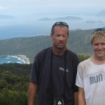
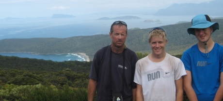
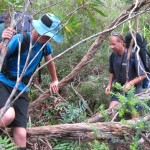
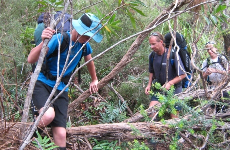
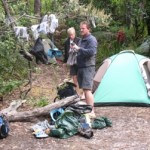
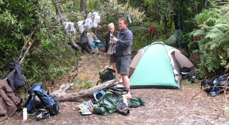
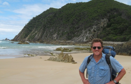
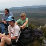
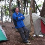
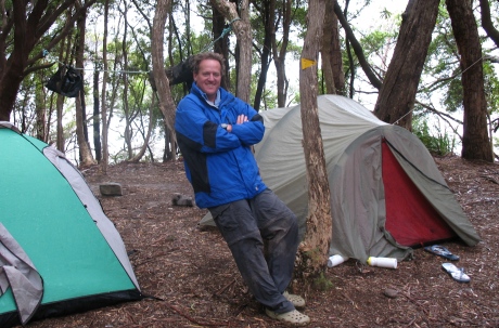
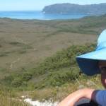
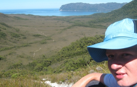
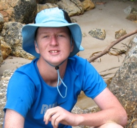
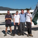
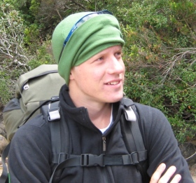
- Harry, Ange, Phil & Jack
-
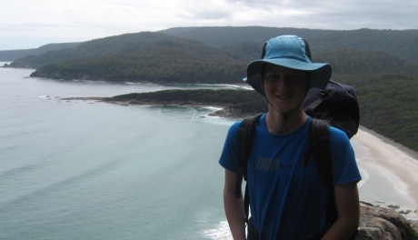
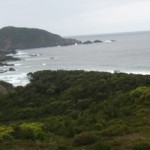
- The last ocean view on the South Coast Track
-
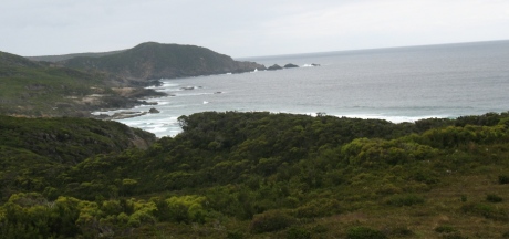
- View from Coal Bluff
-
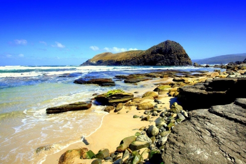
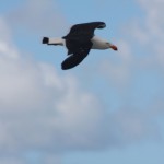
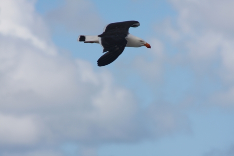
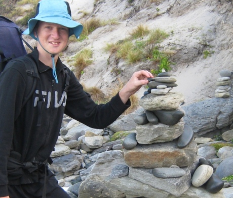
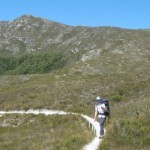
- Lion Rock South Coast Track
-
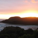
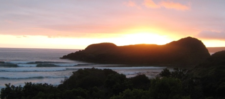
- View of Lion Rock from top of steps to campsite
-
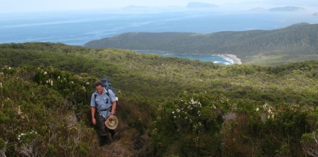
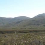
- Flat Rock Plains view
-
- End of the South Coast Track
-
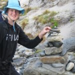
- Rocks at South Cape Bay
-
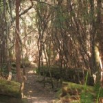
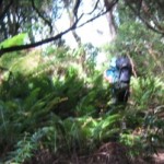
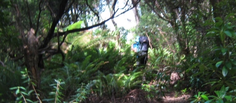
- Light forest of Blowhole Valley
-
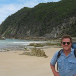
- South Cape
-
- Flat Rock Plain track
-
- Muddy Flat Rock Plain
-
- Heading to Flat Rock Plain
-
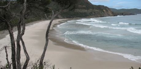
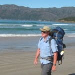
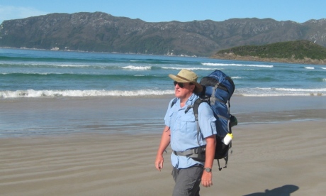
- Heading off the beach
-
- Heading towards Surprise Bay
-
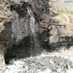
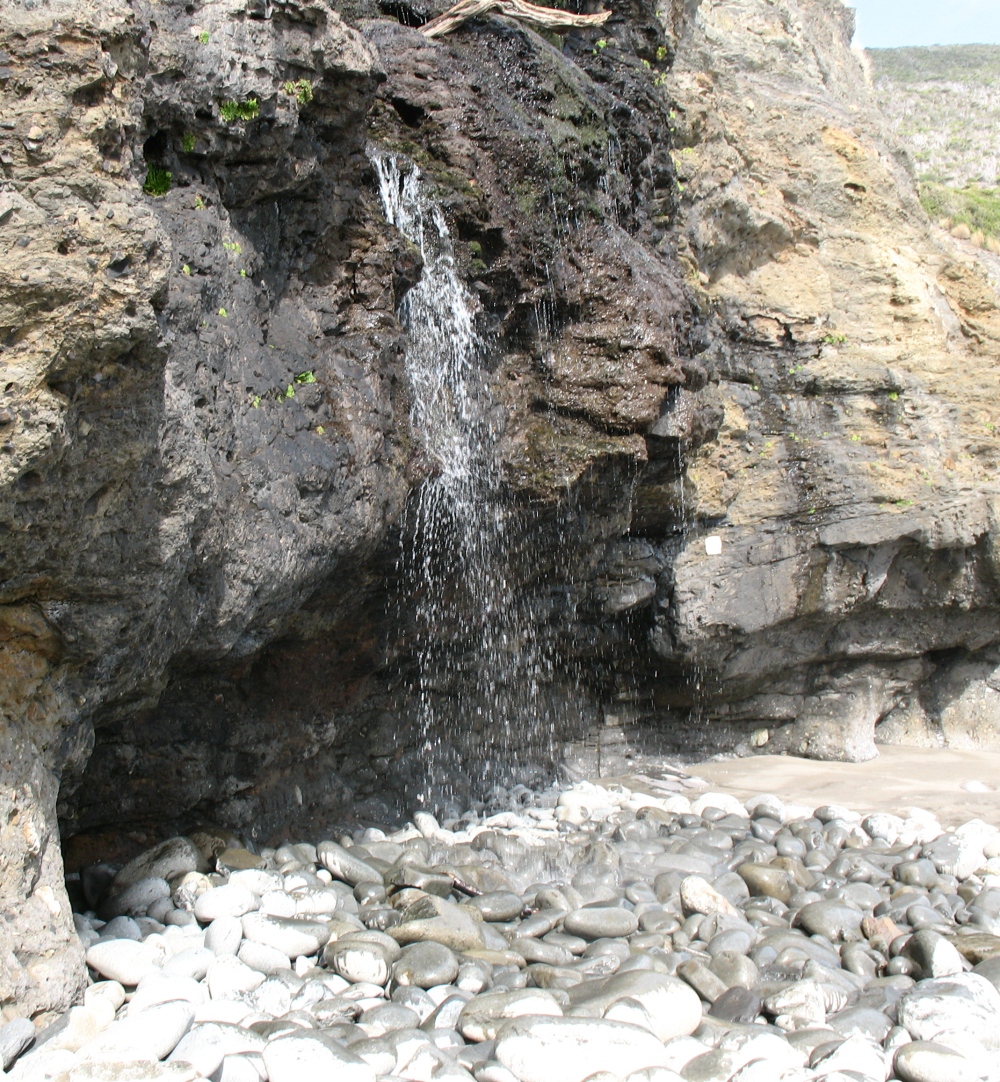
- Waterfall at Granite Beach
-
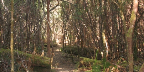
- The forest of Deadmans Bay
-
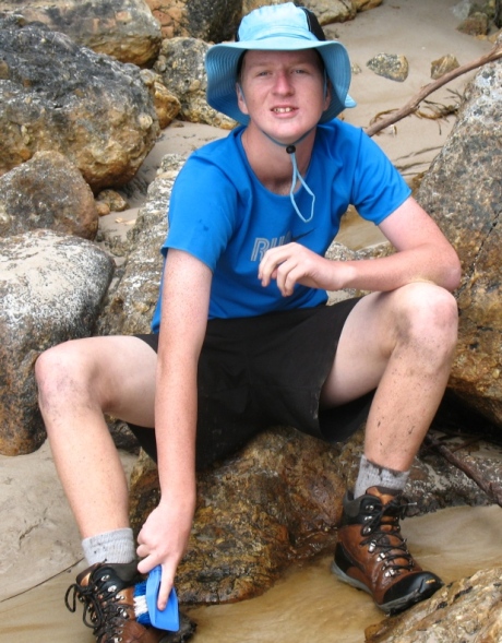
- Wash down at Prion Beach
-
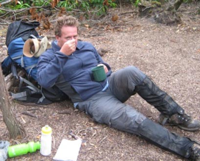
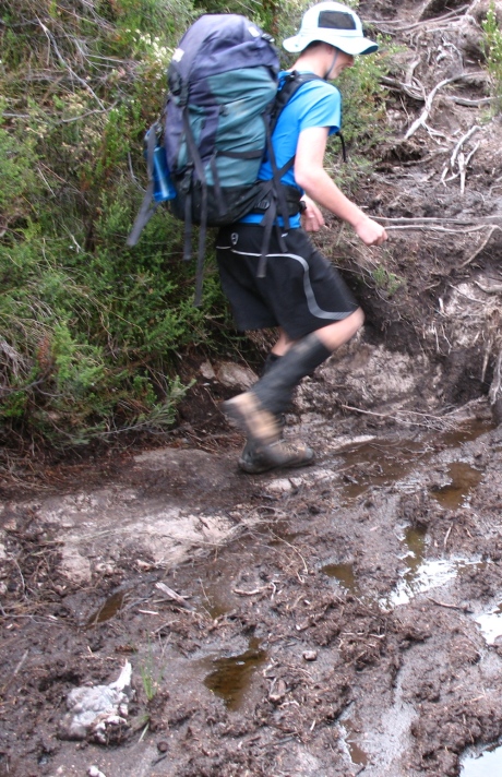
- Jack Sinclair treads softly
-
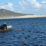
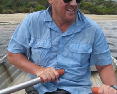
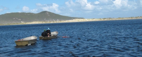
- One of the benefits of having sons – you can get them to row the boats back!
-
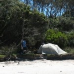
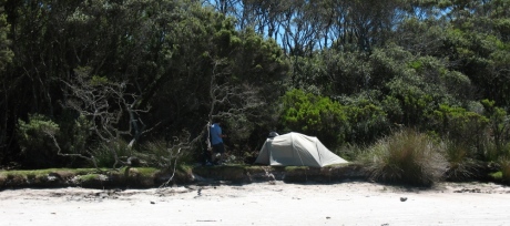
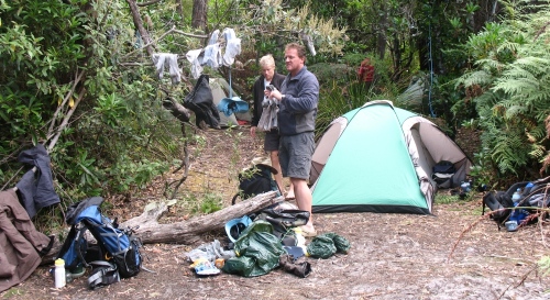
- Prion Beach campsite
-
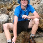
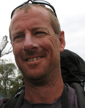
- Brendon Sinclair hits the beach
-
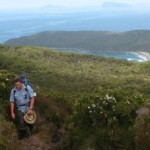
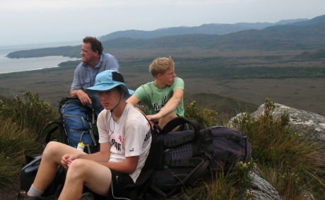
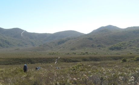
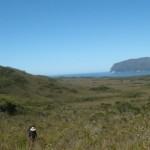
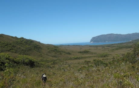
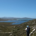
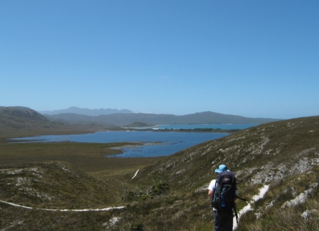
- View from Rocky Plains – South Coast Track
-

- Harry Sinclair makes a wrong decision!
-
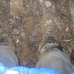
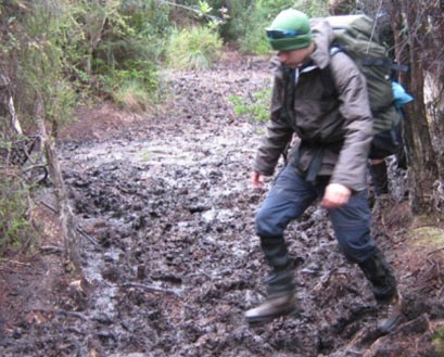
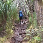
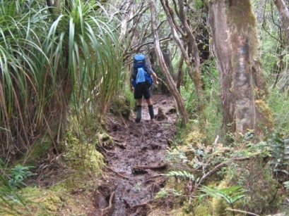
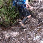
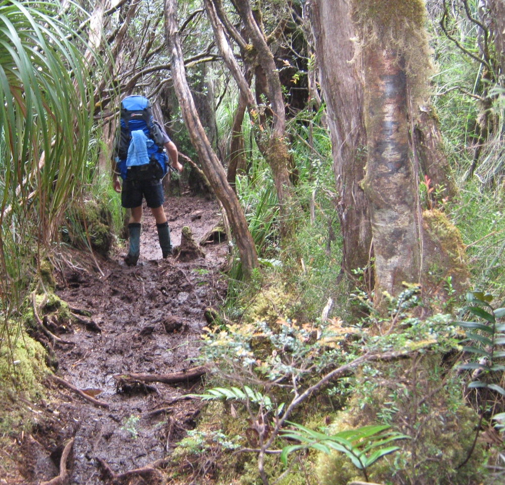
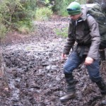
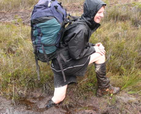
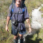
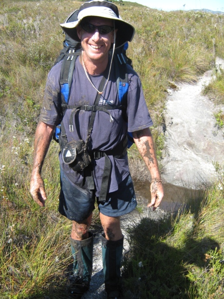
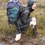
- Track conditions can get a little muddy
-
- Taking a rest up the Ironbound Ranges
-
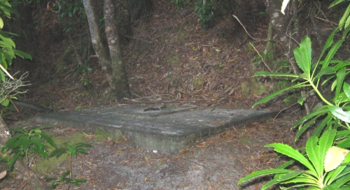
- Little Deadmans Bay campsite
-
- Heading to Red Point Hills – I’ve highlighted the track going up to the top
-
- Half way up Red Point Hills
-
- Heading from Cox Bight to Red Point Hills
-
- Neil takes a tumble
-
- Leaving Point Eric
-
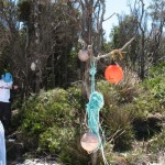
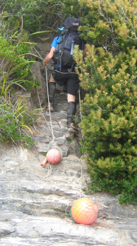
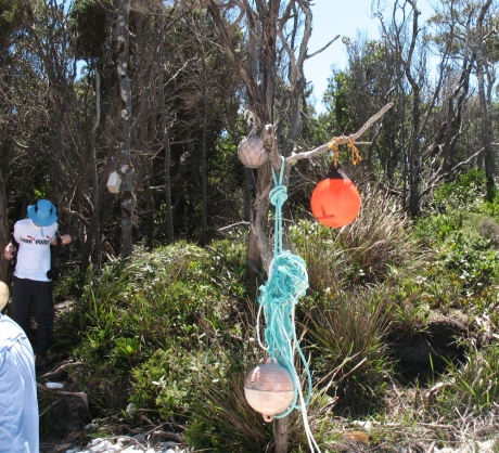
- Track entry and exit points are often marked with fishing debri and buoys
-
- Water from Goring Creek, couple of hundred metres east of Point Eric
-
- Campsite east side of Point Eric
-
- Freney Lagoon ahead, then the beach, then Cox Bight
-
- Heading beside the New Harbour Range
-
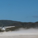
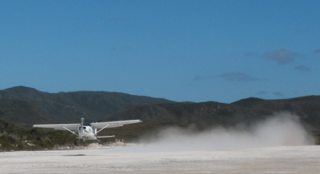
- Flying out of Melaleuca, South West tasmania
-
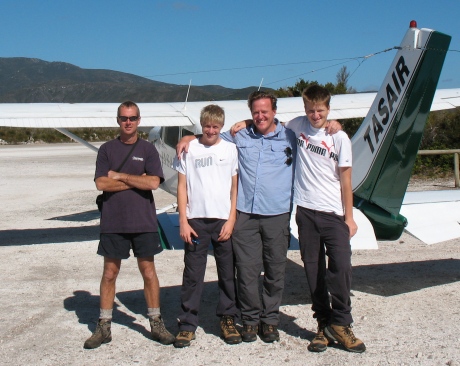
- Tasair flight to Melaleuca – professional and experienced

-
- Leaving Melaleuca

-
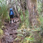
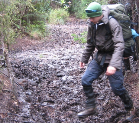
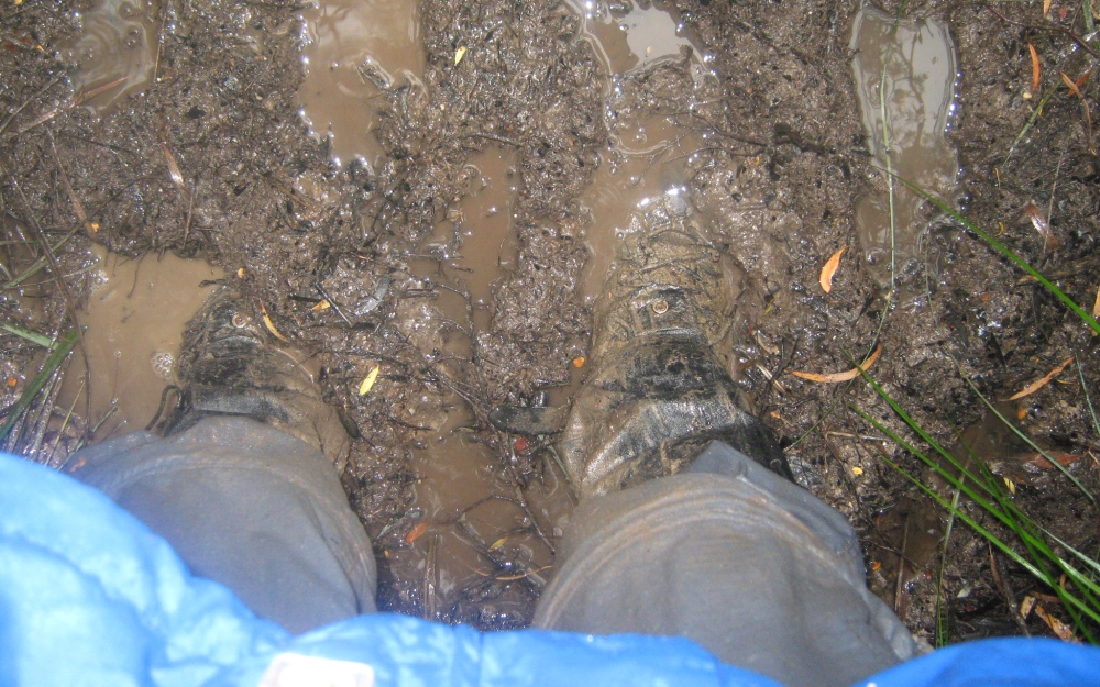
- It can be muddy even after a week of sunshine

-
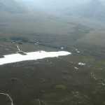
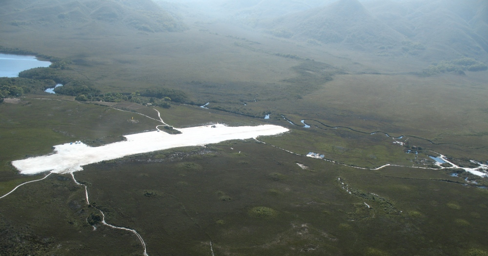
- Airstrip with track leading from it
-
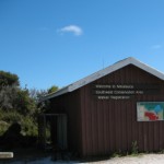
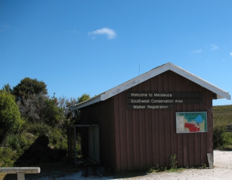
- Walker Registration Hut at Melaleuca
-
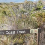
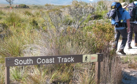
- If you miss this sign, it’s not a great start!
-
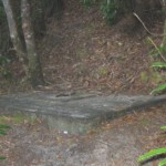
- Not a lot of privacy – but it works